
|
| Click on figures for larger images. |
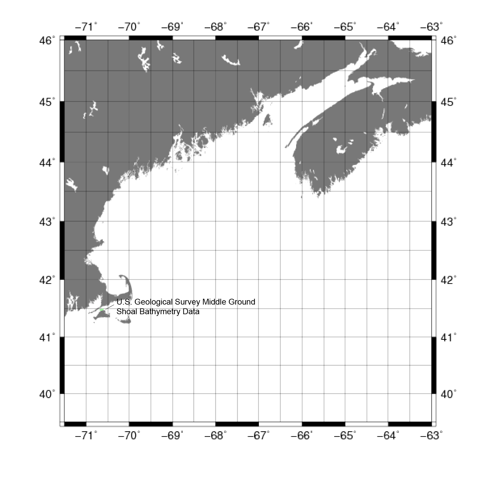 |
Figure 11. Map showing the extent of the Middle Ground shoal bathymetric data from the U.S. Geological Survey. Middle Ground is located to the north of Martha's Vineyard, Massachusetts. |
A survey mapping the bathymetry surrounding the Middle Ground shoal in Vineyard Sound (fig. 11) using swath bathymetry on the
USGS research vessel Rafael was conducted by the U.S. Geological Survey (USGS) in September of 2009.
Data Properties:
- Vertical Datum: MLLW
- Vertical Accuracy: Unknown
- Coordinate System: UTM Zone 19
- Horizontal Datum: World Geodetic System of 1984
- Horizontal Accuracy: Unknown
- Resolution: Less than 1 m.
- Year Data Collected: 2009
- Format: Gridded Data Format
- Date Data Downloaded: March 2010
Initial processing of these data was to convert from UTM Zone 19 to NAD83 in geographic decimal degrees.
The projection was transformed using the Geospatial Data Abstraction Library (GDAL) tool
'gdalwarp'. The format of the data was not changed as
this tool is used only for reprojection, not reformatting the data.
The next processing step was to convert the data from GMT .grd format to ASCII XYZ format using the GMT
'grd2xyz' tool.
The final processing step of these data was to correct the vertical datum from MLLW to
NAVD88. For more information on the vertical datum transformation, see Common Processing Steps and Data.
|


