U.S. Geological Survey Open-File Report 2011-1127
Construction of a 3-Arcsecond Digital Elevation Model for the Gulf of Maine
The Northwest Atlantic (NWATL) dataset was created by the Canadian Hydrographic Service (CHS). The bathymetric data span the North Atlantic from 1758 through 2007 and include digitized field sheets, single beam, multibeam, LIDAR, seismic, and gridded data. All the data are integrated into one database from which the user extracts data according to specifications such as location, agency, type, and so forth (Varma and others, 2008). Data are not currently available for public download. Data Properties:
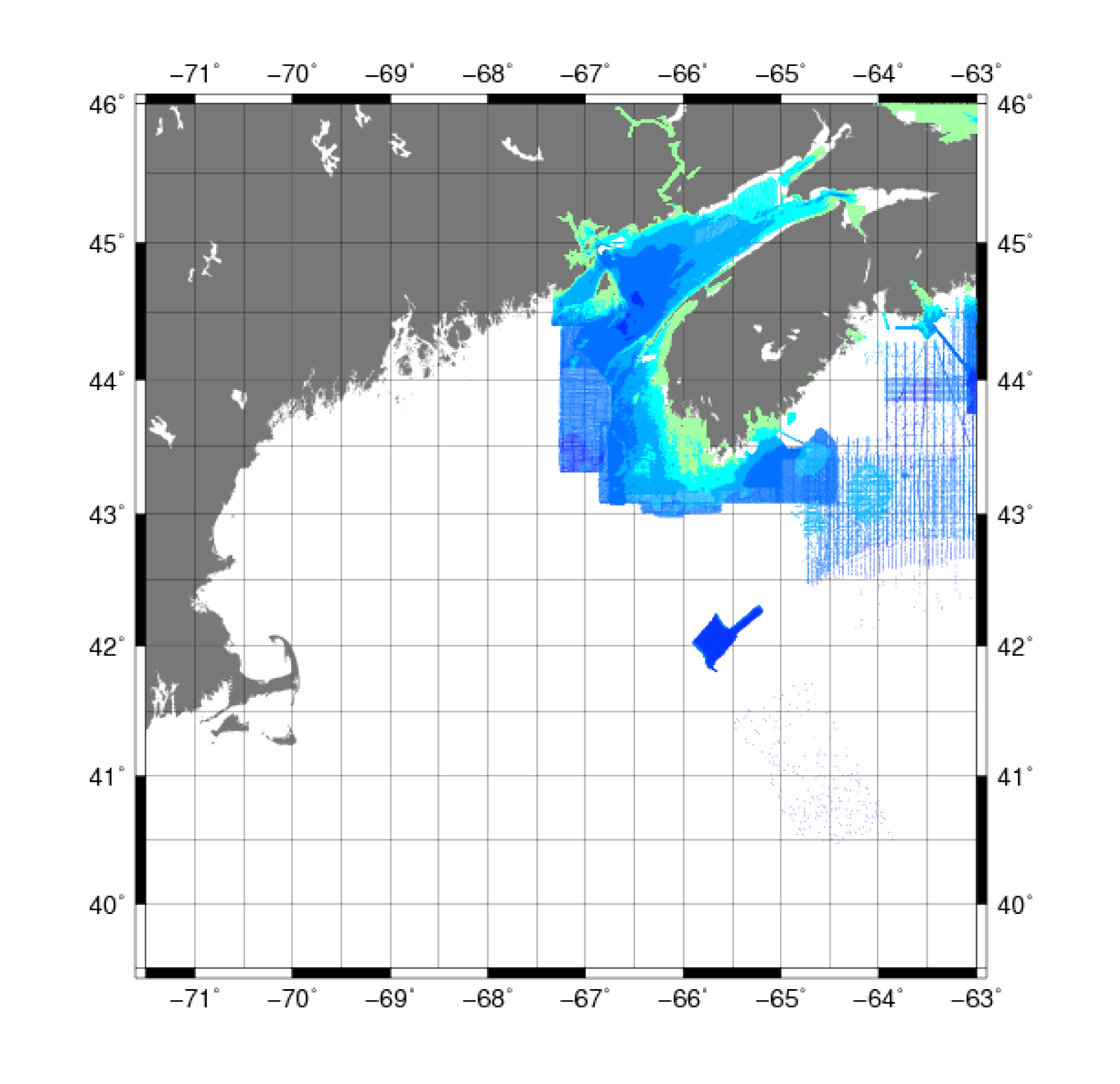
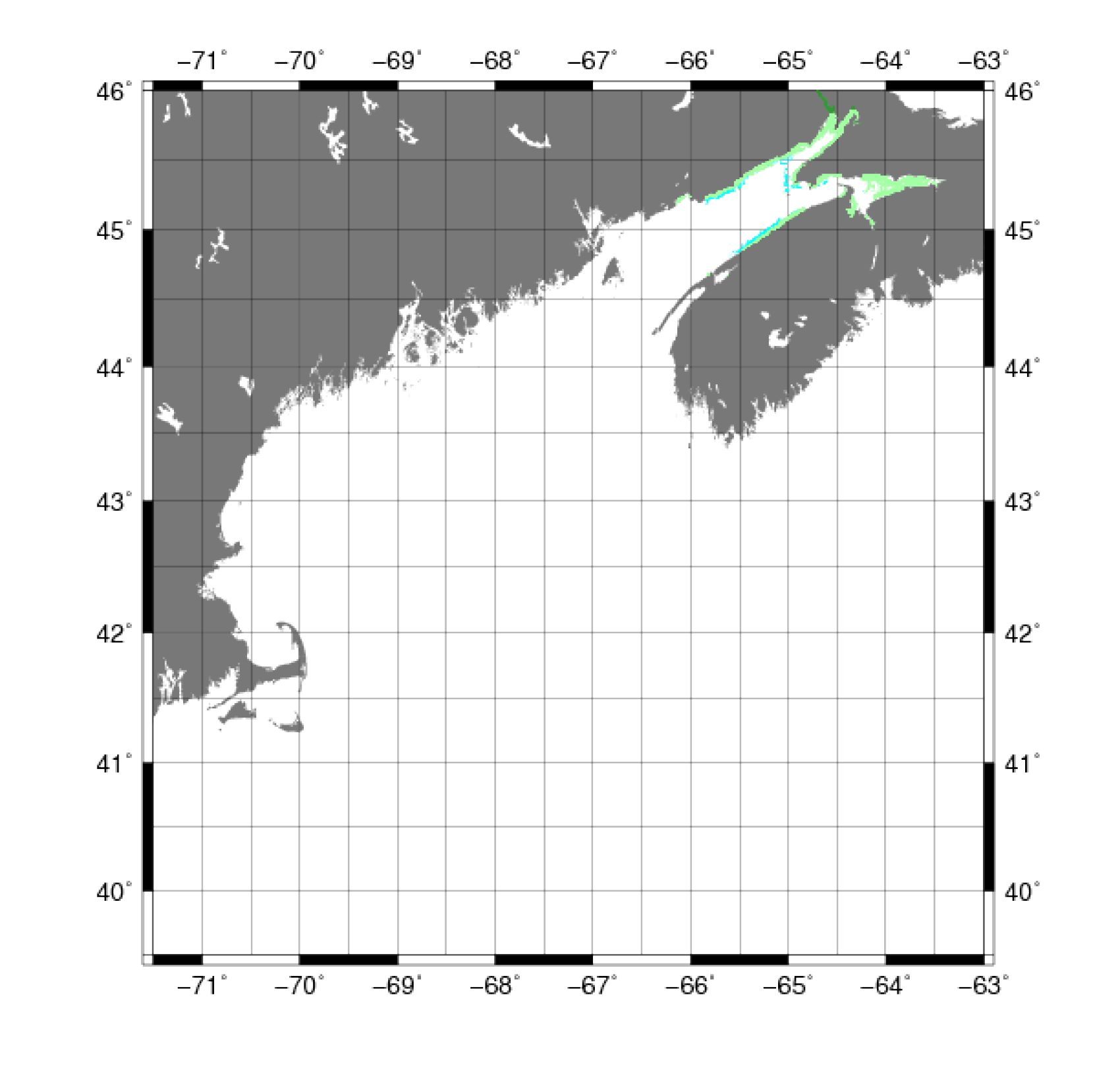
Several datasets were initially extracted and mapped to determine the spatial extent of the data. All but two of the datasets were in waters of the United States but were not used in the construction of the Gulf of Maine bathymetry grid to avoid producing artifacts in the final digital product. The two surveys that were used for the Canadian waters were the University of New Brunswick Atlantic survey (UNBATL) (fig. 8A) and the CHS Atlantic survey (CHSATL) (fig. 8B). The initial processing of the data was to extract and convert to ASCII XYZ format using the SDS toolset included with the data. AWK was then used to look for land values, or points with a Z value greater than or equal to zero, and remove them from the data. AWK was also used to spatially clip the data to the Gulf of Maine region (71°30' to 63° W, 39°30' to 46° N). The final processing step of these data was to correct the vertical datum of the CHSATL data from MLLW to NAVD 88. For more information on the vertical datum transformation, see Common Processing Steps and Data. |