Skip past header information
USGS - science for a changing world

U.S. Geological Survey Open-File Report 2011-1127

Construction of a 3-Arcsecond Digital Elevation Model for the Gulf of Maine


Shuttle Radar Mission Topography

Skip past contents information
Click on figures for larger images.
Shuttle Radar Mission Topography (SRTM)

Figure 14. Map showing the extent of the data for the Gulf of Maine from the Shuttle Radar Topography Mission of the National Aeronautics and Space Administration.

The Shuttle Radar Topography Mission (SRTM) is a joint project between National Aeronautics and Space Agency (NASA) and the National Geospatial-Intelligence Agency (NGA) to map the world in three dimensions. Data are available for download from the National Map seamless server (fig. 14). The SRTM used dual spaceborne imaging radar (SIR-C) and dual X-band synthetic aperture radar (X-SAR) configured as a baseline interferometer, acquiring two images at the same time. These images, when combined, can produce a single three-dimensional image. Flown aboard the NASA space shuttle Endeavour during February 11-22, 2000, the SRTM successfully collected data over 80 percent of the Earth's land surface, relative to the canopy top, for all areas between 60° N and 56° S latitude (U.S. Geological Survey, 2007b)

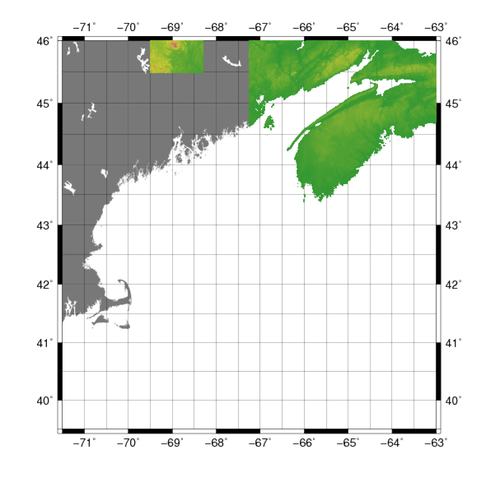
SSRTM data are being used to generate a digital topographic map of the Earth's land surface with data points spaced every 3 arcseconds for global coverage of latitude and longitude (approximately 90 m). The SRTM "finished" data meet the absolute horizontal and vertical accuracies of 20 m (circular error at 90 percent confidence) and 16 m (linear error at 90 percent confidence), respectively, as specified for the mission. The vertical accuracy is actually significantly greater than the 16 m and is closer to ±10 m (U.S. Geological Survey, 2007b).

Data Properties:
  • Vertical Datum:  WGS84/Earth Gravitational Model of 1996 (EGM96)
  • Vertical Accuracy:  Less than or equal to 16 m
  • Coordinate System:  geographic decimal degrees
  • Horizontal Datum:  WGS84
  • Horizontal Accuracy:  Less than or equal to 20 m
  • Resolution:  3 arcseconds (approximately 90 m)
  • Year Data Collected:  2000
  • Format:  ESRI binary grid
  • Date Data Downloaded:   May 2011, Version 4.1
The first step in processing was to convert from the ESRI ArcGrid data raster to ASCII XYZ format using the GDAL 'gdal_translate' tool and the GMT 'grd2xyz' command.

These SRTM data were used for the topography of the Canadian region and needed to be clipped specifically to that area to avoid overlapping with the National Elevation Data (NED) at the boundary areas between the United States and Canada. The "World Vector Shoreline" shapefile of Canada (developed by the NGA) was used as a guide to clip the points. The ArcMap 9.2 ArcToolbox 'near' tool was used to clip all the data lying within the reference shapefile and save the points into a new file.

SRTM data are referenced vertically to the EGM 96 geoid, while the NED is referenced vertically to the NAVD 88 datum. Because the NAVD 88 is an orthometric (sea level referenced) datum, which is closely approximated by the geoid, the NED and SRTM elevations are essentially in the same reference system so no vertical transformations were required (U.S. Geological Survey, 2008).
Skip USGS links group

Accessibility FOIA Privacy Policies and Notices

Take Pride in America logo USAGov logo U.S. Department of the Interior | U.S. Geological Survey
End of USGS links group