
|
| Click on figures for larger images. |
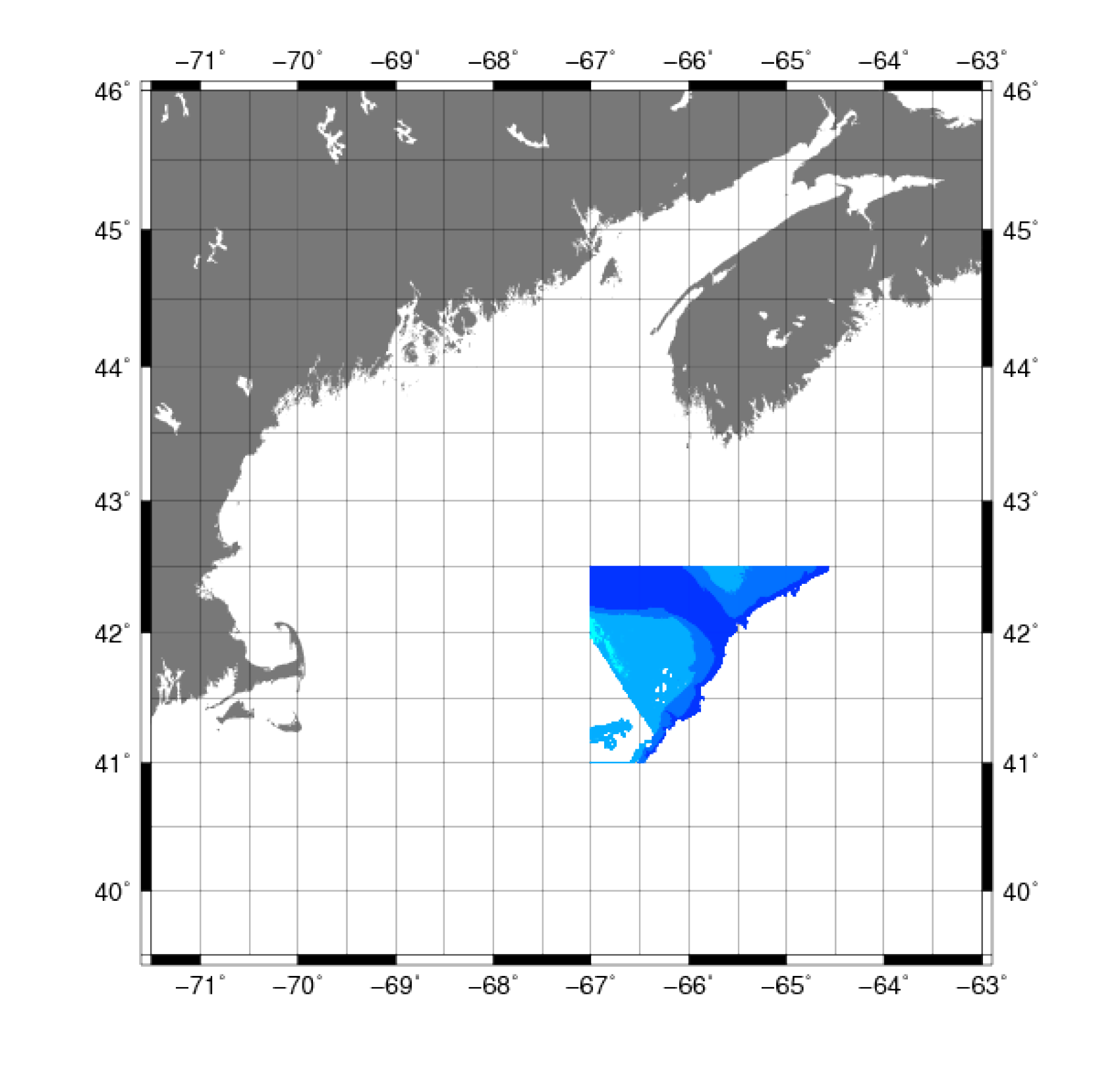 |
Figure 9. Map showing the extent of the data from the Olex three-dimensional chart system for the Gulf of Maine. |
The Olex three-dimensional chart
system is a shared sea floor database system for mapping, navigation, and fishery. Olex data are
constructed through real-time data from the echosounder and GPS of fishing vessels. The system
combines vector chart navigation and fishery plotting with sea floor plotting. The Olex system works
on a sharing basis, and users of the system are encouraged to share their sea floor data to create a
more comprehensive database. Users send in their collected sea floor data to gain access to a database
with collected depths from other Olex users (Olex, 2010).
Data Properties:
- Vertical Datum: MSL
- Vertical Accuracy: Unknown
- Coordinate System: Geographic Decimal Degrees
- Horizontal Datum: NAD83
- Horizontal Accuracy: Unknown
- Resolution: Varies
- Format: ASCII XYZ
- Date Data Downloaded: November 2009
Data were provided directly by Olex in ASCII XYZ format relative to MSL (fig. 9).
The vertical datum was adjusted to NAVD88 using the method described in Common Processing Steps and Data.
Olex data were clipped to a small region by the Northeast Channel, and data within 1000 m of higher
resolution data were removed.
For more information on the buffering and manual removal, see Common Processing Steps and Data.
|


