
|
| Click on figures for larger images. |
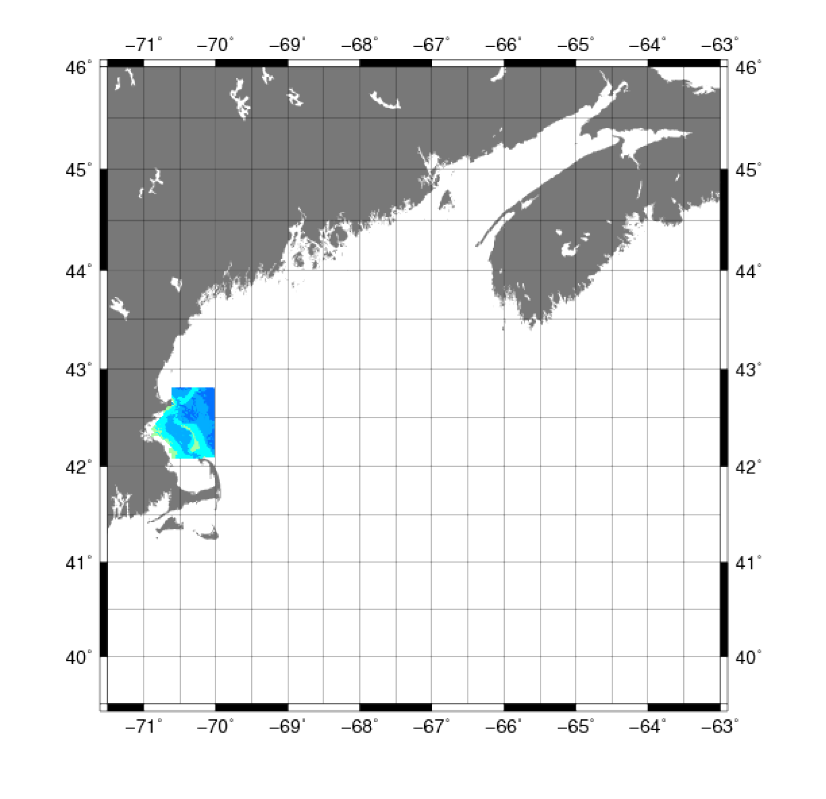 |
Figure 3. Map showing the extent of the bathymetric data from the U.S. Geological Survey Massachusetts Bay and Stellwagen Bank surveys from 1994-1998. |
The U.S. Geological Survey (USGS) conducted geologic mapping to characterize the sea floor offshore of Massachusetts, which included collection of swath bathymetry data
(fig. 3). Mapping was carried out using a Simrad Subsea EM 1000 multibeam echo sounder on the Canadian
Coast Guard Ship Frederick G. Creed on four cruises conducted between 1994 and 1998, in cooperation with NOAA and with support from the
Canadian Hydrographic Service and the University of New Brunswick. (Butman and others, 2007). For this project,
we used a10 m grid available in ESRI binary format
, which was more than sufficient for our 3-arcsecond grid.
Data Properties:
- Vertical Datum: MLLW
- Vertical Accuracy: 0.03 m
- Coordinate System: Custom Mercator projection
- Horizontal Datum: NAD 83
- Horizontal Accuracy: 3 m
- Resolution: 10 m
- Period Covered by Data: 1994-1998
- Format: ESRI binary grid
- Date Data Downloaded: September 2010
The ESRI binary grid in custom Mercator projected coordinates (in meters) was converted to a geographic coordinates (in degrees) using the
FWTools subpackage Geospatial Data Abstraction Library (GDAL)image reprojection and warping utility
gdalwarp, with output saved in GMT grid format (.grd). The GMT grid was then converted to ASCII XYZ format (x is longitude, y is latitude, and z is negative depth) using
the GMT
grd2xyz tool.
The vertical datum was adjusted to the NAVD 88 using the method described in Common Processing Steps and Data.
|


