
|
| Click on figures for larger images. |
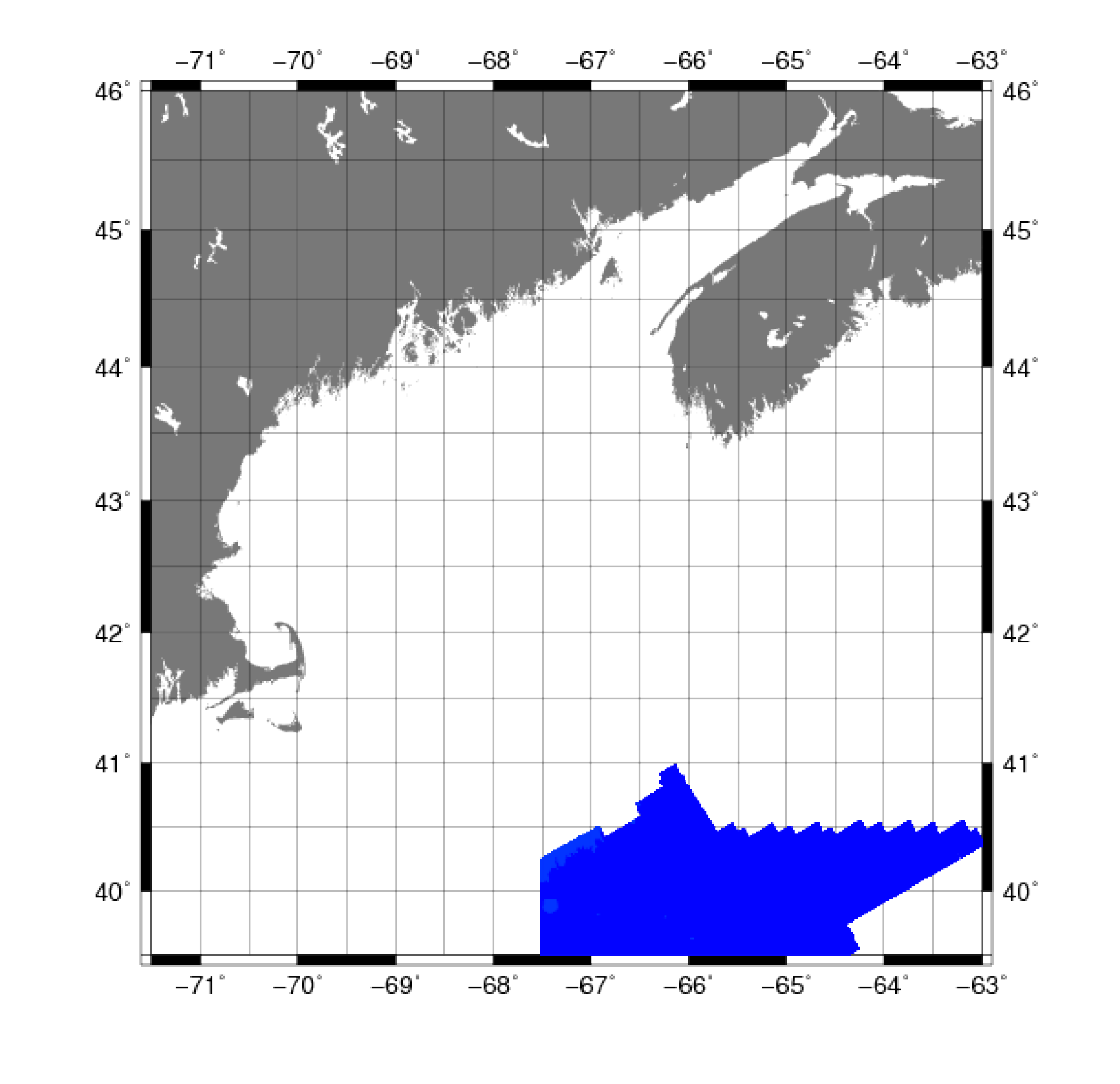 |
Figure 7A. Map showing the extent of the University of New Hampshire's far north survey for the Gulf of Maine. |
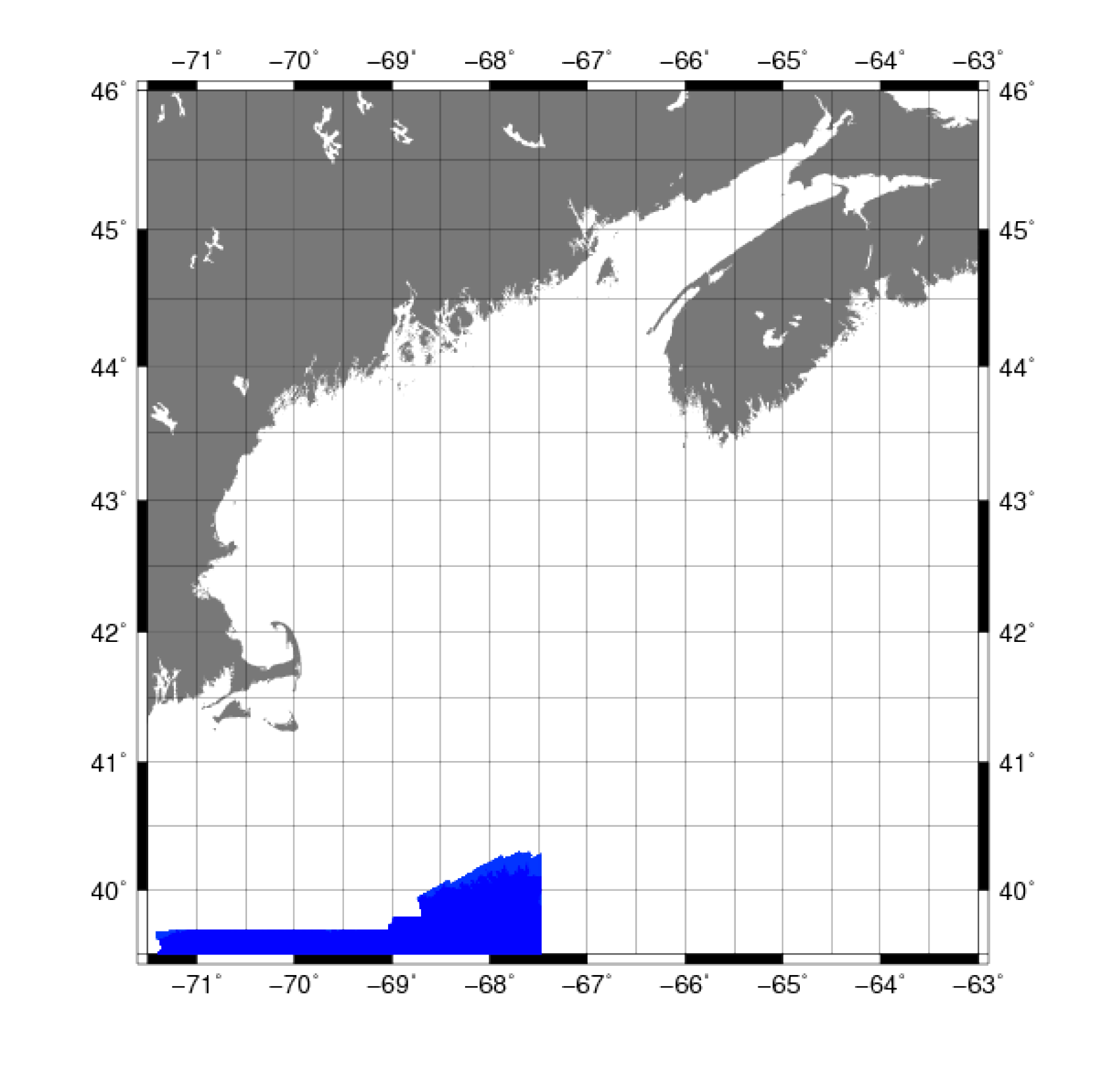 |
Figure 7B. Map showing the extent of the University of New Hampshire's north survey for the Gulf of Maine. |
National Oceanic and Atmospheric Administration (NOAA) was tasked with surveying specific regions on the continental margin (slope and rise) in the North Atlantic Ocean to obtain multibeam
bathymetry and coregistered calibrated acoustic backscatter. These data are required to support a potential claim for extended jurisdiction
(extended continental shelf) by the United States under Article 76 of the United Nations Convention on the Law of the Sea (UNCLOS). As part of a
NOAA-funded research program, the UNH Center for Coastal and Ocean Mapping Joint Hydrographic Center (CCOM/JHC) is in the process of collecting
multibeam bathymetry and acoustic backscatter data. The requirement is for the collection and processing of high-quality, full-coverage multibeam
sonar data in water depths of approximately 2,000 to 5,000 m in order to precisely define the location of the 2,500-m isobath and the "foot of
the slope" as defined under article 76 of UNCLOS. The extensive sea floor mapping project grew out of an exhaustive desktop study of the U.S.
bathymetry data holdings that identified several regions where new bathymetric surveys were needed (Mayer and others, 2002). UNH researchers
oversaw acquisition, processing, and archiving of bathymetric and acoustic backscatter data (Gardner, 2010).
Two datasets were downloaded directly from the Law of the Sea Mapping Program’s Atlantic Ocean data library— the Atlantic far north (fig. 7A)
and Atlantic north (fig. 7B) data sets
were downloaded for constructing the Gulf of Maine bathymetry grid.
Data Properties:
- Vertical Datum: MSL
- Vertical Accuracy: < ±1 percent water depth
- Coordinate System: Geographic Decimal Degrees
- Horizontal Datum: WGS84
- Horizontal Accuracy: 5 m
- Resolution: 100 m
- Year Data Collected: 2005
- Format: ASCII XYZ
- Date Data Downloaded: July 2011
AWK was used to clip the points spatially to the Gulf of Maine digital bathymetry grid area of 71°30' to 63° W, 39°30' to 46° N.
The vertical datum was adjusted to NAVD 88 using the method described in Common Processing Steps and Data.
|


